
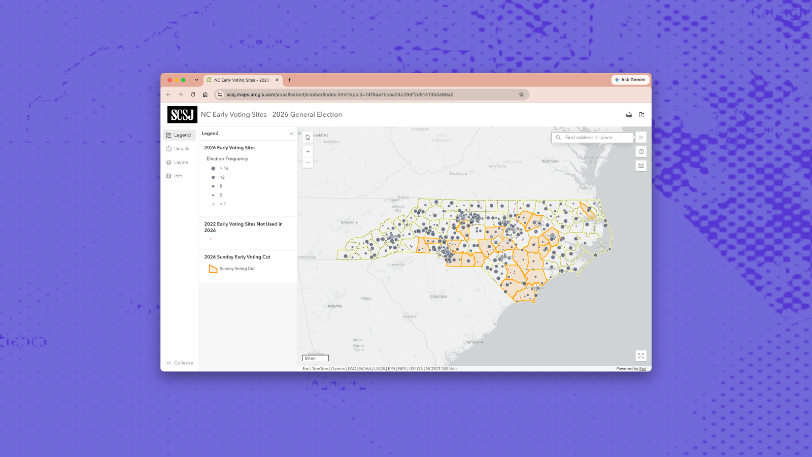
This map shows the location of every early voting site approved by the North Carolina State Board of Elections for the 2026 General Election.
The size of each dot indicates how many times a site has been used for early voting in previous Primary and General elections, going back to the 2012 Primary Election. Larger dots represent sites that have been used more frequently, ranging from 1 to 16 previous elections. Click on a site to see the specific elections in which it was previously used.
The map also includes two layers comparing the 2026 early voting plan with the 2022 General Election. One provides historical context by showing which locations were used during the previous midterm General Election but are not being used in 2026, either because they were moved or not included in the 2026 plan.
A second comparison layer identifies counties that offered early voting on one or both Sundays in 2022 but will not offer Sunday early voting in 2026.
Several demographic background layers are also available. These are turned off by default but can be toggled on or off using the layer controls in the sidebar on the left.
Any inaccuracies are inadvertent and should be flagged to hilaryhklein@scsj.org or chrisketchie@scsj.org.